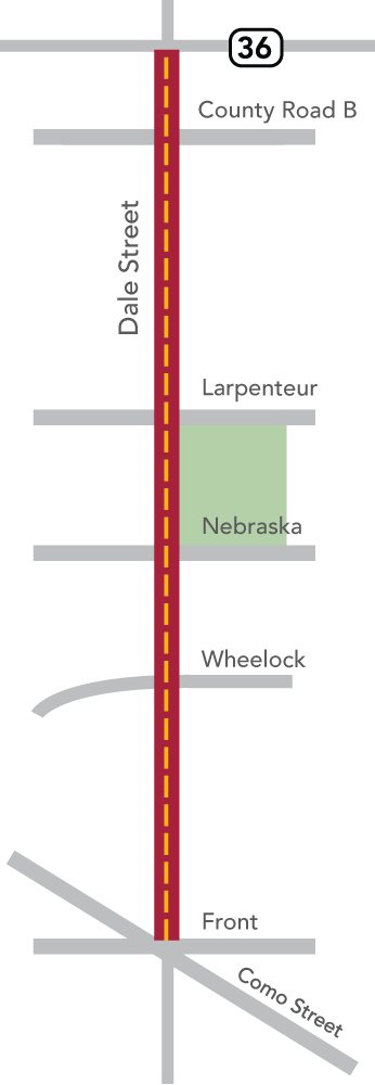
Ramsey County, in collaboration with the cities of Roseville and Saint Paul, is working to redesign Dale Street between Highway 36 and north of Como Avenue. This redesign will include a 4-to-3 lane conversion of Dale Street to reduce the frequency and severity of crashes occurring along the roadway.
The roadway will be resurfaced and restriped and signals will be replaced or updated along the corridor. The early phases of the design process will include engagement with the community to explore additional pedestrian and bicycle enhancements.
Selected contractor: Park Construction Company
Subscribe to Dale Street project updates
Timeline
- Road striping work is ongoing due to several weather delays.
Community engagement
Public engagement began in early 2023.
Open houses:
December 2023: View presentation video.
June 2023: Shared conceptual design. Feedback gathered during this open house will inform the final design of the conversion. Themes heard through engagement:
January 2023: The project team connected with more than 80 community members sharing information about the design process and discussing potential design solutions. Attendees shared their input through comment forms, in-person activities and conversations with the project team.
Common themes:
- Opportunities to improve pedestrian infrastructure and safety for traveling along or crossing Dale Street.
- Discussion of the overall road design and feedback on the 4 to 3 lane conversion.
- Design solutions for Dale Street that prioritize safety.
- Support of bicycle infrastructure along Dale Street.
- Connections to transit service, including improvements to some transit stations.
Traffic Impacts
- Expect some delays during road striping and final restoration work.
- No U-turns or wrong way driving at the pedestrian crossing islands.